Inverse Distance weighted (IDW) in QGIS
Introduction
Inverse distance weighted (IDW) is a type of deterministic method for multivariate interpolation with a known scattered set of points. The assigned values to unknown points are calculated with a weighted average of values available at the known points.
The name given to this type of methods was motivated by the weighted average applied, since it resorts to the inverse of the distance to each known point ("amount of proximity") when assigning weights.
Practice
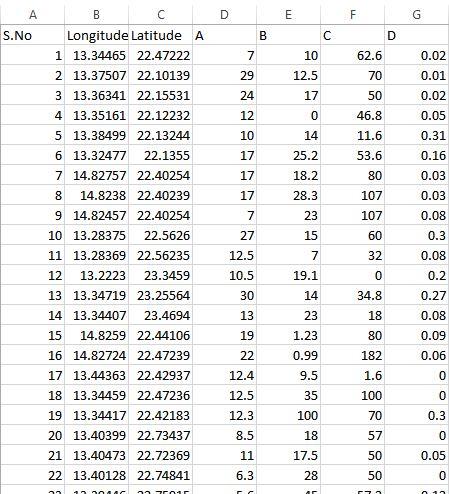
- First, given data were pre-processed and cleaned using Microsoft Excel:
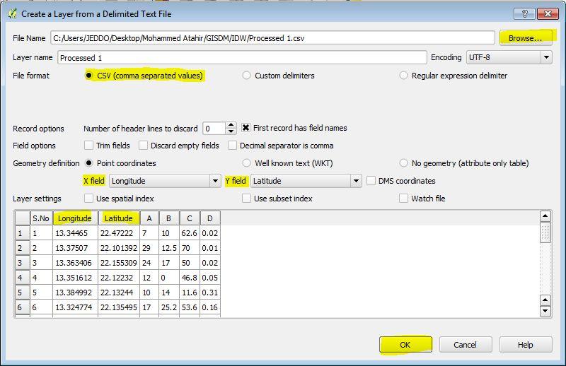
- Adding data as a vector layer using “add delimited text layer” as follow:
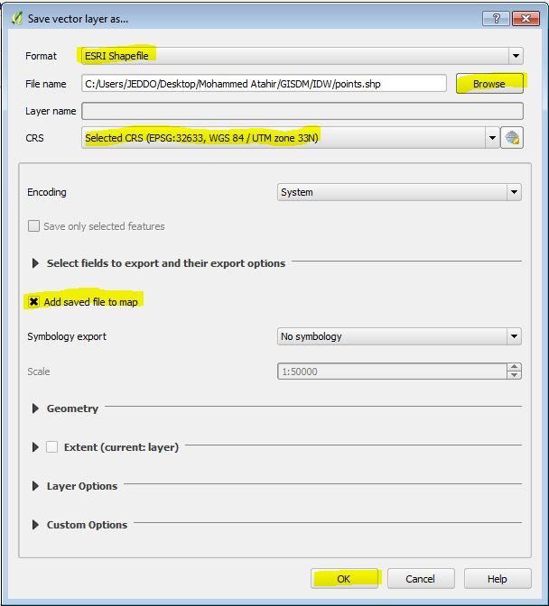
- After adding the data, you can save it as a Shapefile for further other processes, and that by “right click” on the layer and select “save as”:
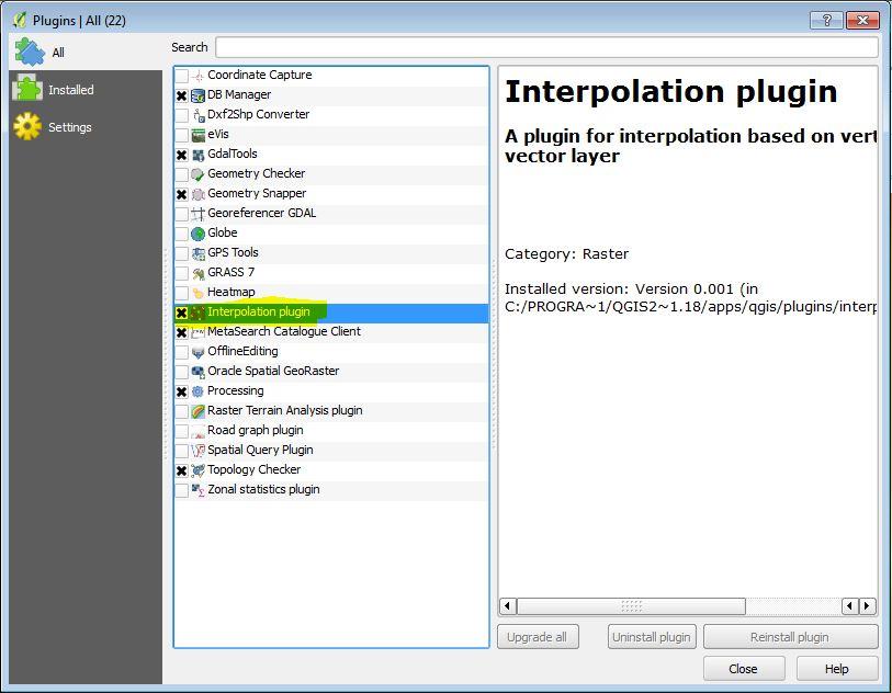
- Enabling the “interpolation” plugin:
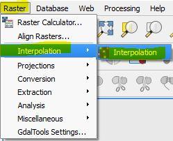
- Applying “IDW” using the interpolation plugin:
- For better visualization,we can modify the style of IDW layer properties:
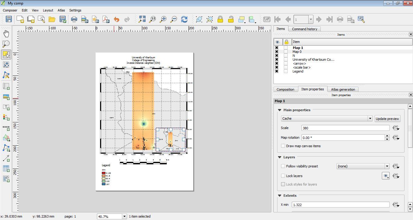
- Finally using Print composer the final map is created:


Comments
Post a Comment