Posts

Showing posts with the label Tutorials

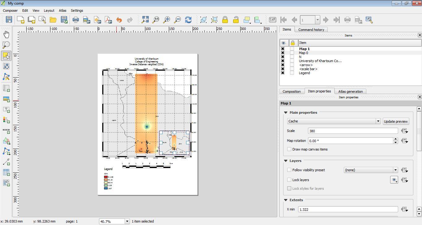
Inverse Distance weighted (IDW) in QGIS
Image
Introduction Inverse distance weighted (IDW) is a type of deterministic method for multivariate interpolation with a known scattered set of points. The assigned values to unknown points are calculated with a weighted average of values available at the known points. The name given to this type of methods was motivated by the weighted average applied, since it resorts to the inverse of the distance to each known point ("amount of proximity") when assigning weights. Practice First, given data were pre-processed and cleaned using Microsoft Excel: Adding data as a vector layer using “add delimited text layer” as follow:  After adding the data, you can save it as a Shapefile for further other processes, and that by “right click” on the layer and select “save as”: Enabling the “interpolation” plugin: Apply...

Thissen Polygon (Voronoi) in QGIS

Image
Introduction Thissen polygon is a local interpolators that uses nearest neighbours, as they are of high importance ‘first low of geography’. It gives a quick understanding of the space, and starts by defining a search area around the point being process. The space is divided by polygons with each polygon containing one indiviual point. polygons represent that any location inside it, is closer to the point other than any sample point, Also the size of the polygon depend on the point density. Methodology Using QGIS, Thissen polygon (Voronoi) was applied to data of Sudan Admissions and localities that were obtained from (humenreponse.org). North Darfur was the state of application. A comparison between two different ways of splitting the vector was held, and another comparison between the (GRASS and QGIS Geoalgorithms) Voronoi algorithms. Practice Pre-processing: Downloaded the data. Organized on a folder to ease understanding and management. Add data (vector data) to the QGIS environ...