Thissen Polygon (Voronoi) in QGIS

Introduction
Thissen polygon is a local interpolators that uses nearest neighbours, as they are of high importance ‘first low of geography’. It gives a quick understanding of the space, and starts by defining a search area around the point being process.
The space is divided by polygons with each polygon containing one indiviual point. polygons represent that any location inside it, is closer to the point other than any sample point, Also the size of the polygon depend on the point density.
Methodology
Using QGIS, Thissen polygon (Voronoi) was applied to data of Sudan Admissions and localities that were obtained from (humenreponse.org). North Darfur was the state of application.
A comparison between two different ways of splitting the vector was held, and another comparison between the (GRASS and QGIS Geoalgorithms) Voronoi algorithms.
Practice
Pre-processing:
Downloaded the data.
Organized on a folder to ease understanding and management.
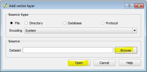
Add data (vector data) to the QGIS environment, as follow:
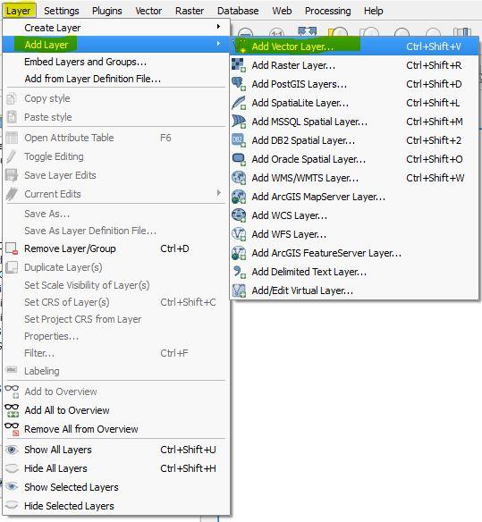
from the whole Sudan states, North Darfur state was selected by using ‘Select By Expression’, then split from other states:
Selecting North Darfur state:
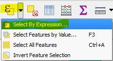
Figure 3: from toolbar select 'Selection by expression'.
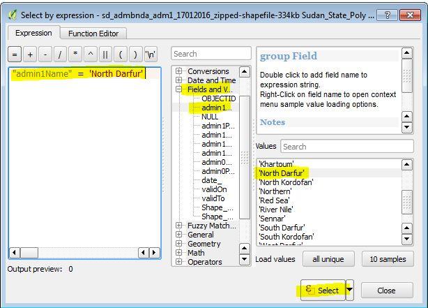
Figure 4: using expression to select the desired state
Splitting the state:

This is the first method used here for splitting vectors, which separate each selected vector in an indiviual shape file which can then be add to QGIS environment, which is implemented as follow:

Figure 6: select 'split vector layer'.
Figure 7: fill and choose the indicated parameters and hit ok.
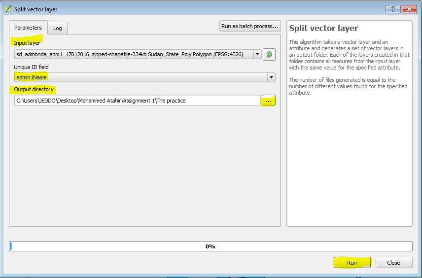
Figure 8: Adding the split polygon with the same steps explained earlier.
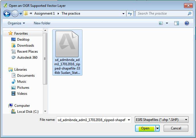

Figure 9: the added split state {North Darfur).
Using this approach of splitting vectors; will split whatever amount of selected vectors (points, lines or polygons) and save them as indiviual ‘shapefile’s, which may be useful in some cases, but on selecting many points as in our settlements step (high number of points is selected) it will take a lot of time and produce each point as a separate ‘Shapefile’.
Selecting the settlement within the state of North Darfur, following these steps:
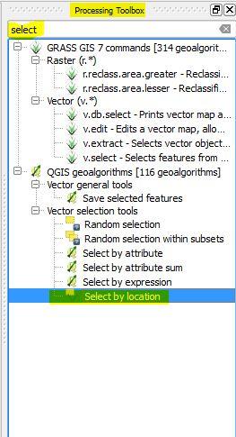
Figure 10: from Toolbox, search for 'Select by location' and open it.
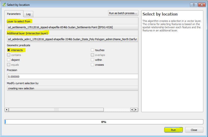
Figure 11: fill the specified fields and hit ok.
Figure 12: select the settlements layer, right click, save as.
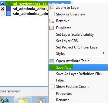

Figure 13: make sure of the highlighted fields and hit ok.
Here is the second method of splitting the vector layer, it’s used as it’s much appropriate for points layer..
Figure 14: the current statues.

Applying Thissen polygon:
The project now is ready to implement the Thissen polygon (Voronoi). There are two algorithms in QGIS for that, provided by GRASS and QGIS Geoalgorithms:
Voronoi (GRASS):
Apply it as follow:
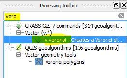
Figure 15: form toolbox, select 'Voronoi' GRASS
Figure 16: fill highlighted fields and hit ok.
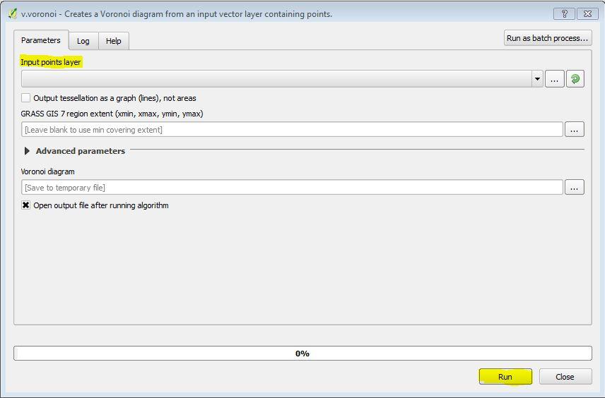

Figure 17: the result from Voronoi (GRASS)
From a brief look, notice that there are two points in the very top polygon, which is kind of indicate some failure in the algorithm, as we stated earlier, in Thissen polygon each polygon contain only one indiviual point.
Voronoi (QGIS Geoalgorithms):
Apply it as follow:
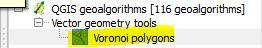
Figure 18: from toolbox, select 'Voronoi polygons' (QGIS Geoalgorithms).
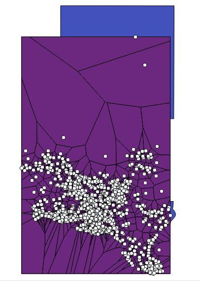
Figure 19: result of (Voronoi polygon) QGIS Geoalgorithms.
Notice that in this algorithm it fixed the previously discussed note, as the high top point now has a separate polygon as it should be. And this result what is goanna be used for the final output.
Finally: clipping the out-boundary Thissen polygon:
Applying that as follow:
Figure 20: from toolbox, search for 'clip' and select it.
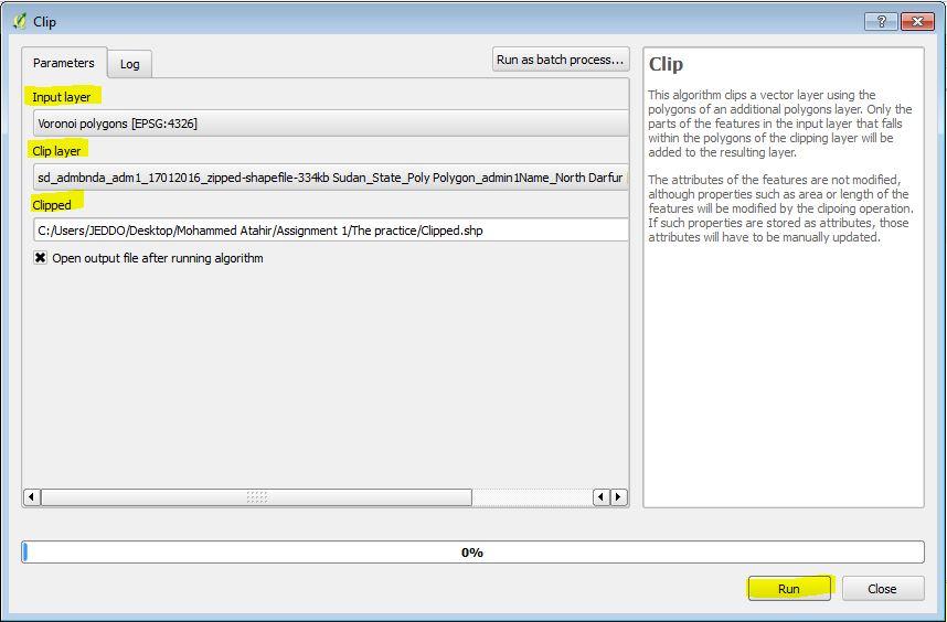
Figure 21: fill indicated fields and hit ok.
Figure 22: the final result.
Conclusion
There are two approaches for Thissen polygon on QGIS, in this particular situation the QGIS Geoalgorithms (Voronoi polygon); gave a batter result.
Two methods of splitting vectors was introduced, and each one work best depending on the type of vector data (point, polygon as in this project).

Comments
Post a Comment